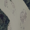
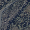
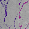
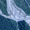
GINA provides project imagery and raster data as a Web Mapping Service and as bundled downloads.
License restricted dataset distribution is limited to AEA partners and contractors. Contact us to obtain access to these datasets.
GINA provides project imagery and raster data as a Web Mapping Service and as bundled downloads.
License restricted dataset distribution is limited to AEA partners and contractors. Contact us to obtain access to these datasets.